ACTION ALERT DAY TODAY: Tracking strong to severe storms Tuesday evening

The KQ2 Storm Tracker Weather Team has issued an Action Alert Day for Tuesday as the potential for severe thunderstorms increases across Northwest Missouri and Northeast Kansas, with the greatest threat expected Tuesday evening into the overnight hours.
A line of showers and thunderstorms is moving southeast from Nebraska into Northwest Missouri early Tuesday morning. This activity is expected to weaken as it moves into the area, but the storms and cloud cover will play an important role in determining how much the atmosphere can destabilize later today.
What happens this morning matters
The morning round of storms is one of the biggest forecast uncertainties for today.
If the morning activity weakens and clouds break enough for temperatures to warm this afternoon, instability could increase significantly. If clouds and showers persist, that could limit afternoon heating and reduce the severe threat.
Any boundaries left behind by the morning storms could also become a focus for additional thunderstorm development later today.
Severe threat increases tonight
The Storm Prediction Center has placed portions of the region under a Slight Risk (Level 2 of 5) for severe thunderstorms.
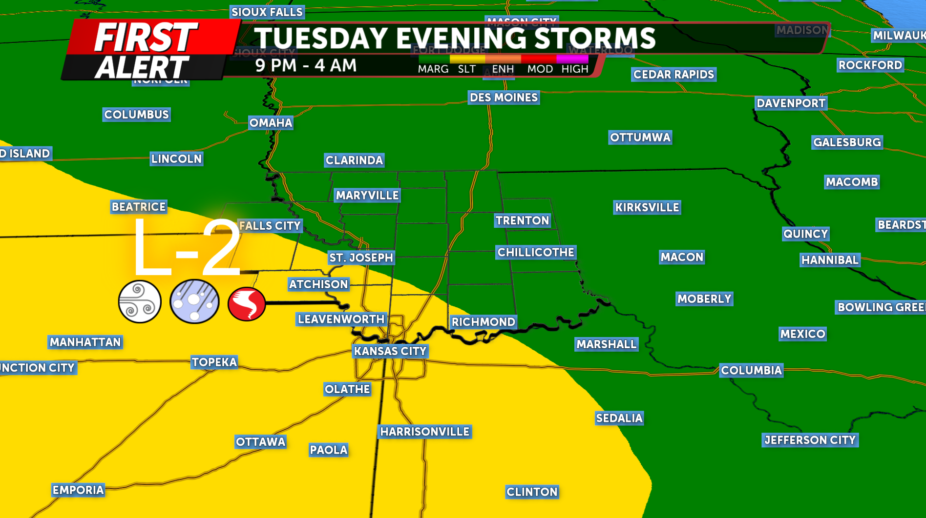
The greatest concern is late Tuesday evening into the overnight hours, with the most likely window currently around 9 p.m. Tuesday through 4 a.m. Wednesday.
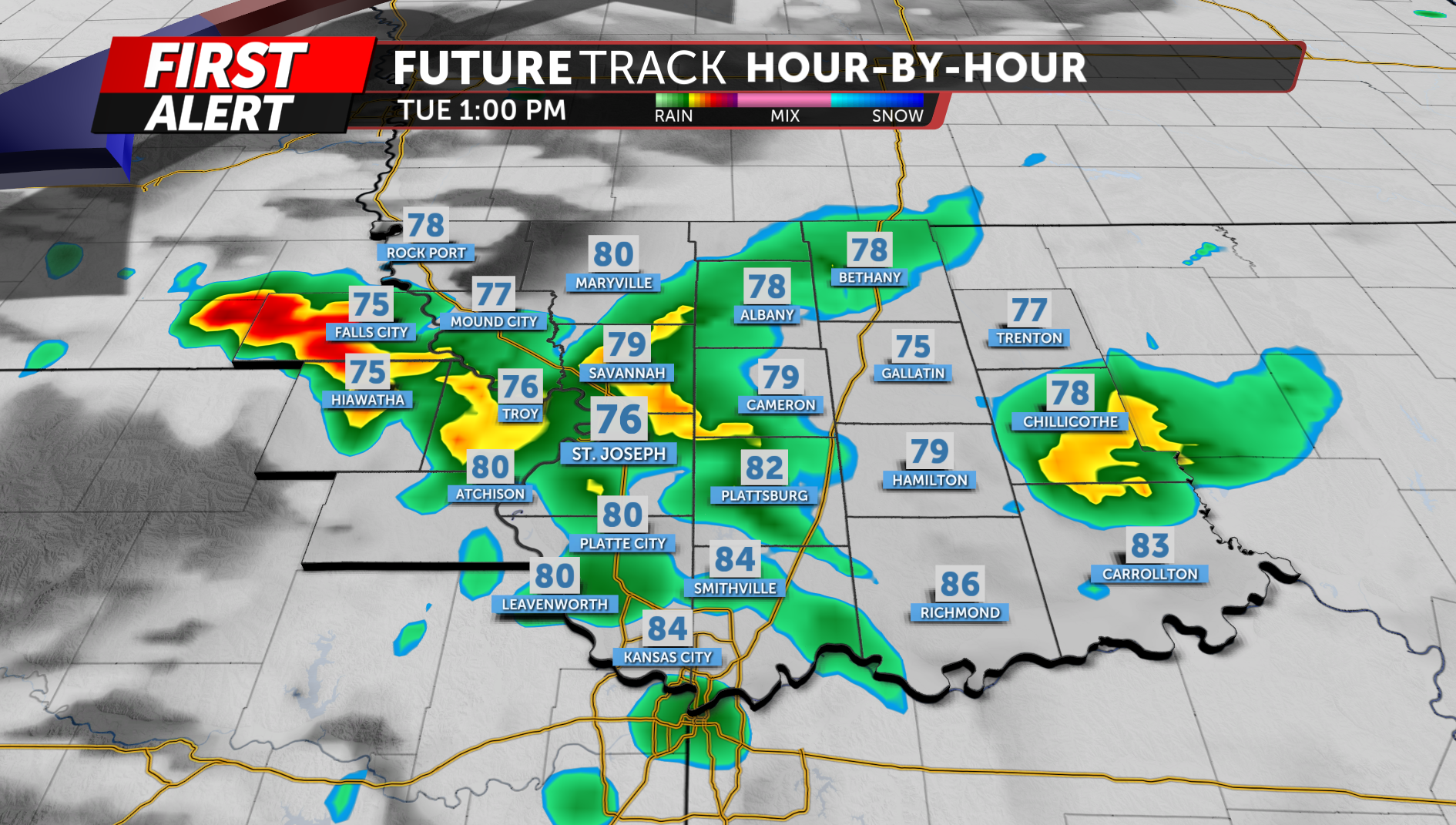
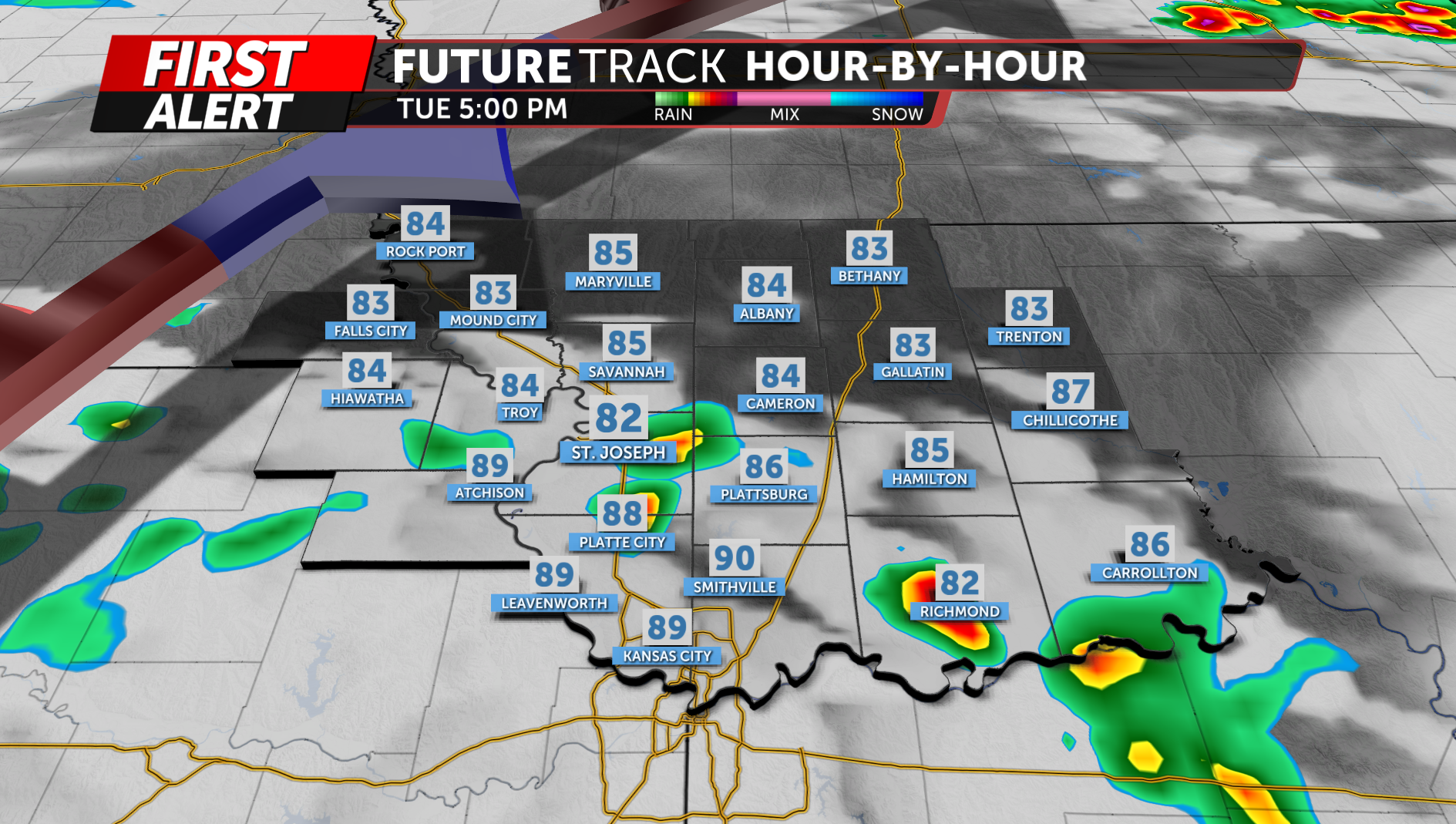
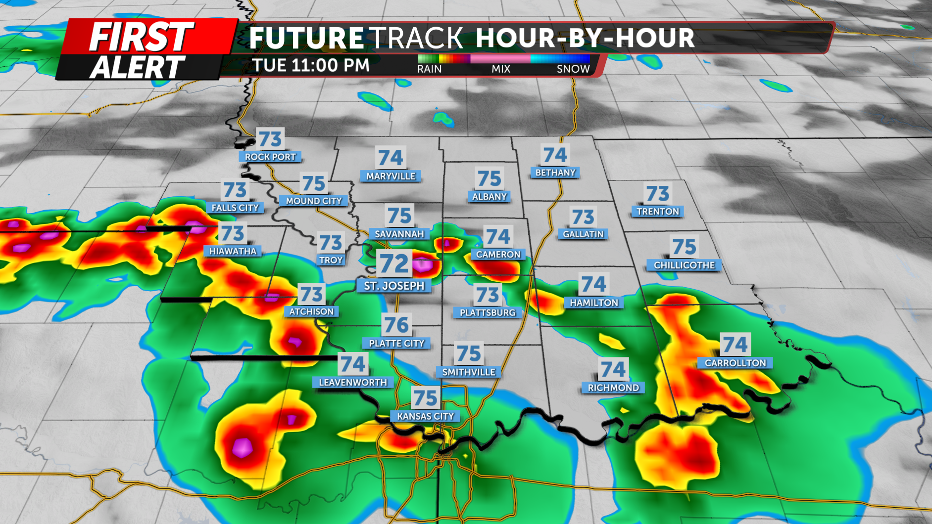
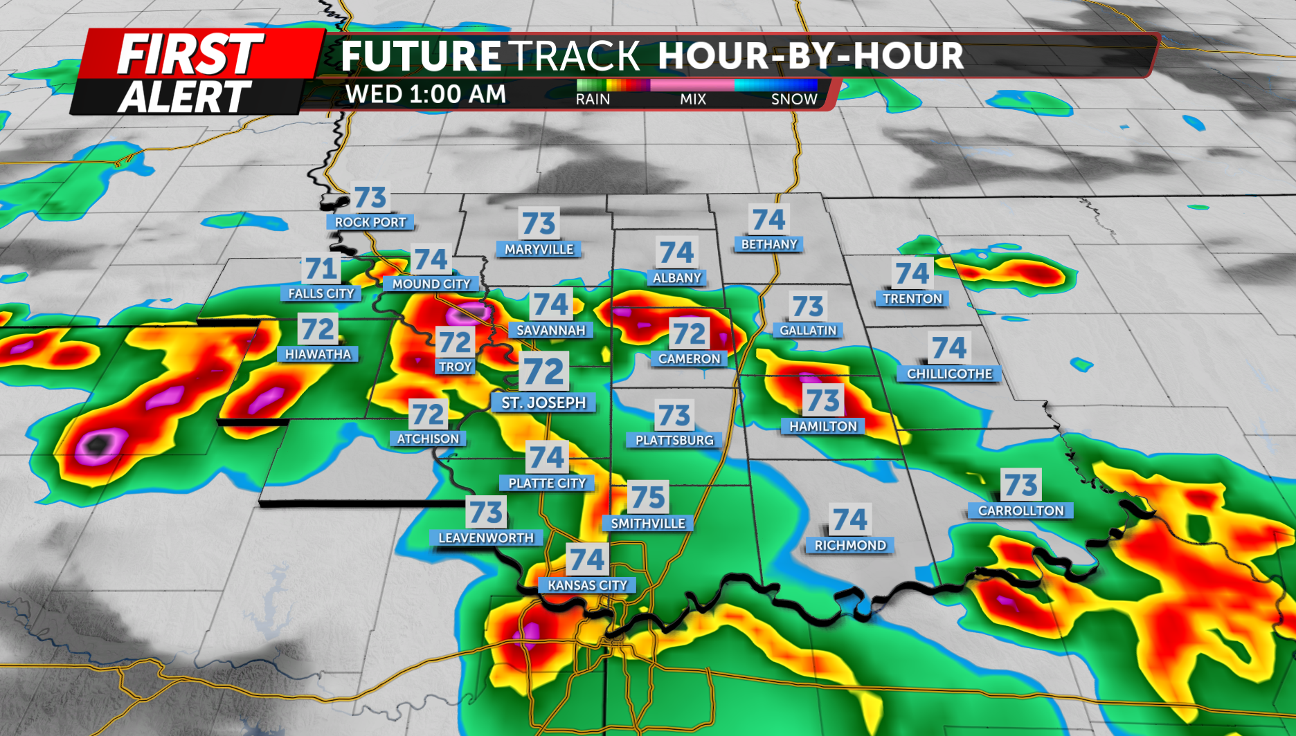
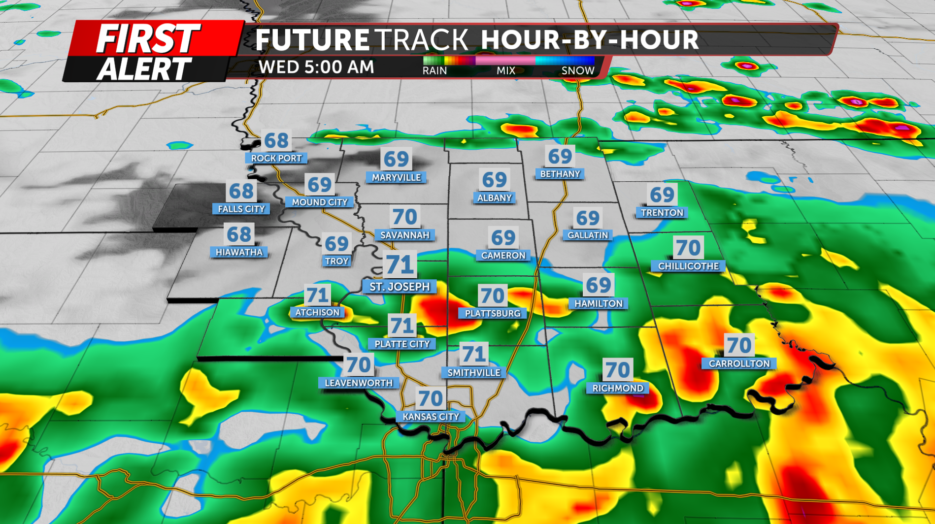
As a warm front lifts northward across the region, moisture and instability are expected to increase.
Storms could evolve through the night
Storms may initially develop as discrete or semi-discrete supercells, particularly across eastern Kansas and western Missouri. If storms remain separated, large hail and damaging winds would be the primary concerns, although an isolated tornado or two cannot be ruled out.
As the evening progresses, storms are expected to become increasingly organized and could merge into a bowing line or mesoscale convective system (MCS).
If that occurs, the primary threat would shift toward widespread damaging wind gusts.
Location remains uncertain
The exact location of the strongest storms remains one of the biggest questions for today.
The morning storms, afternoon heating and the location of boundaries left behind by earlier convection will all influence where the evening storms develop. The severe threat has shifted farther south compared with earlier forecasts, but portions of Northwest Missouri and Northeast Kansas remain in the area of concern.
For that reason, not everyone will necessarily experience severe weather, but those across the region should be prepared for changing conditions Tuesday evening and overnight.
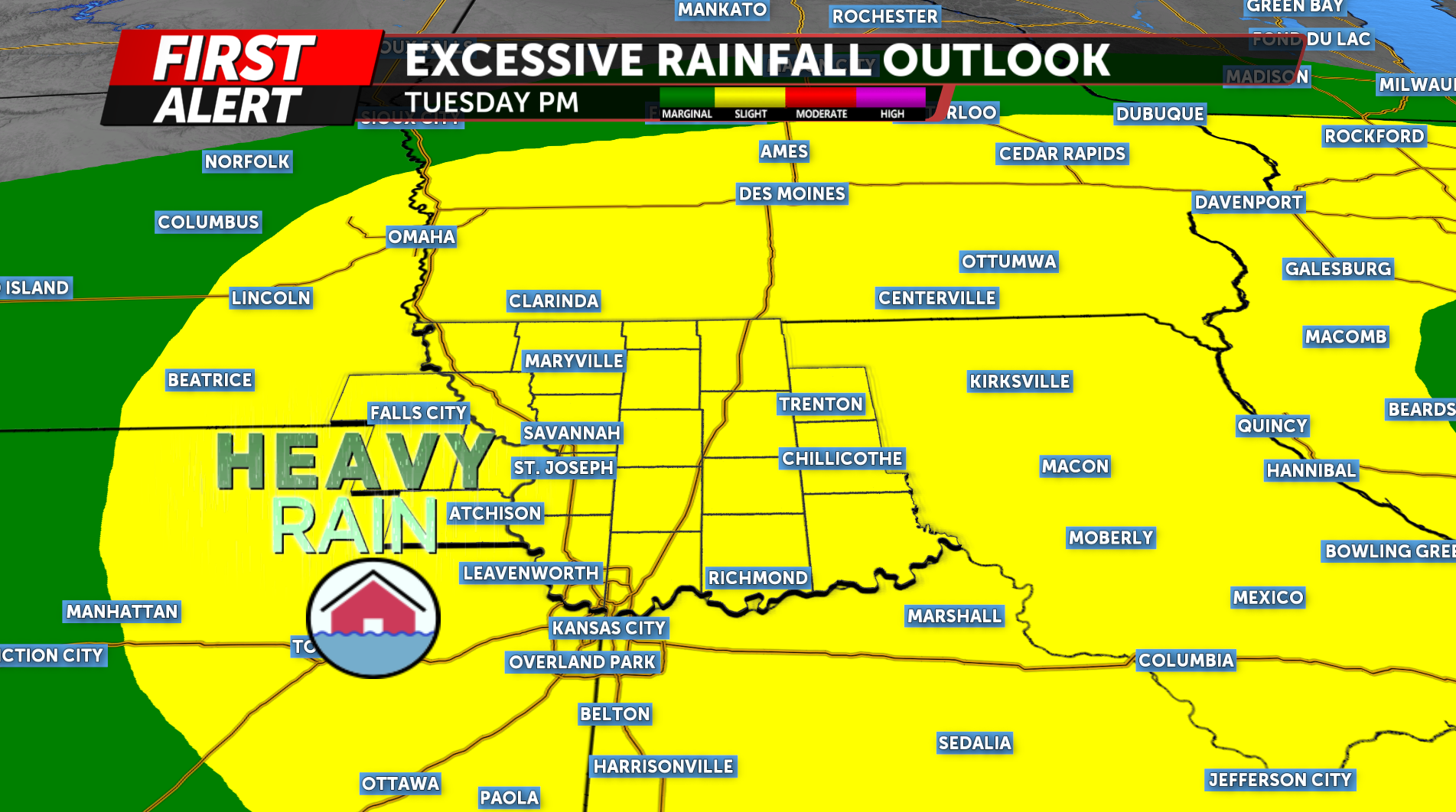
Heavy rain also possible
In addition to the severe weather threat, heavy rainfall will be possible as storms move through the region. High moisture levels could allow storms to produce heavy rain in a short period of time.
The latest forecast does not support issuing a Flood Watch at this time, but localized flooding could occur, especially where storms repeatedly track over the same locations.
The KQ2 Storm Tracker Weather Team will continue to monitor the evolving severe weather threat and provide updates on-air, online and through social media.
Stay weather aware Tuesday evening and overnight, and make sure you have multiple ways to receive weather warnings for your location.
