Springtime temperature roller coaster continues
Northwest Missouri and Northeast Kansas have been stuck on a temperature roller coaster, careening from record highs and bright sunshine last week to blowing snow and record lows earlier this week. The ride continues as astronomical spring arrives Friday, Mar. 20, with a good shot at several days of record warmth returning.
Debriefing from the past 10 days or so, regional weather has been on the wild side. Monday, Mar. 9 and Tuesday, Mar. 10 were awfully warm with daily record highs in St. Joseph at 80 and 86 degrees. Then of course, there was explosive thunderstorm development that dropped baseball to softball sized hail in parts of the KC metro that Tuesday evening.
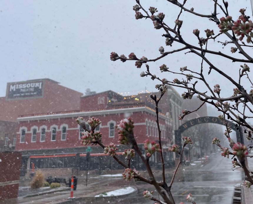
By Sunday, Mar. 15, a strong low pressure system brought gusty winds over 50 mph, a major drop in temperature, and a bout of blowing snow to the Mid-Missouri River Valley. Snow accumulations were modest, ranging from 1 to 2 inches in most cases, with the highest totals near 3 inches mainly along and east of Interstate 35. That said, high winds had no issue blowing snow around for a few hours, and roads quickly became slick.
Following the turbulent system that dropped temperatures from the 60s to the single digits in less than 24 hours, cold air settled in for a bit. Early this week two daily record lows were set in St. Joseph, 8 degrees on Monday, Mar. 16 and 7 degrees Tuesday, Mar. 17.
Record territory warmth will return with the start of astronomical spring on Friday, Mar. 20, marked by the vernal equinox. High temperatures Friday and Saturday will easily soar well into the 80s locally, St. Joseph even has a shot at reaching low 90s Saturday afternoon!
In short, the main driver behind these obscene swings in temperature is a particularly wavy jet stream. This current of fast moving air high in the atmosphere separates cold air masses originating from the poles to warmer ones from the tropics. During transitional seasons like springtime, the jet stream tends to have a meridional flow pattern, rolling in deep troughs and ridges oriented in north to south waves. Late spring and summer tend to be more steady, as the next stream takes on a more zonal west to east flow pattern.
Here in the heartland, where the Great Plains meets the Midwest, temperature swings are often maximized compared to many other parts of the country. This can be attributed to the unobstructed wide-open geography, far distance from the moderating effects of earth’s oceans, and mid-latitude location.
